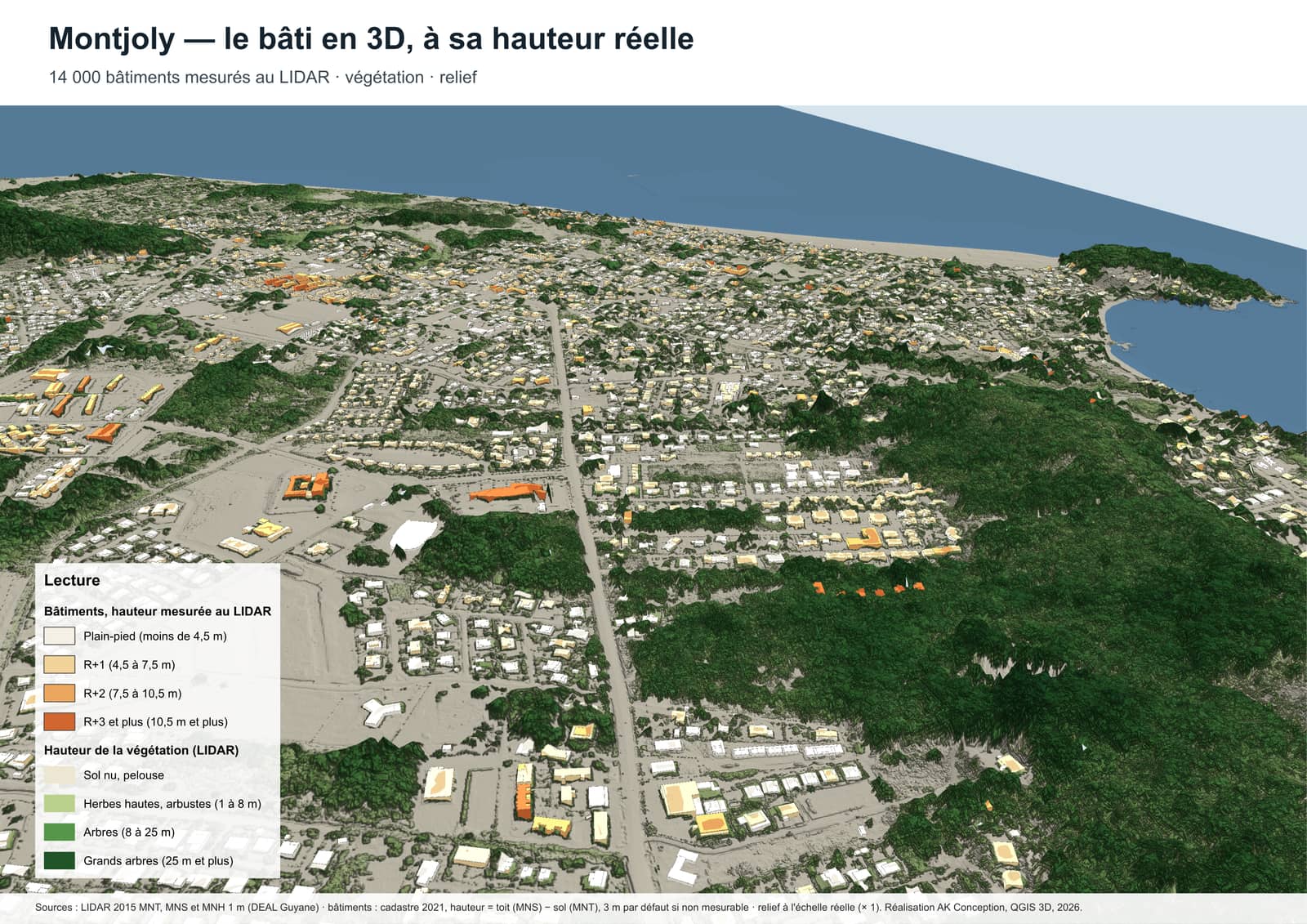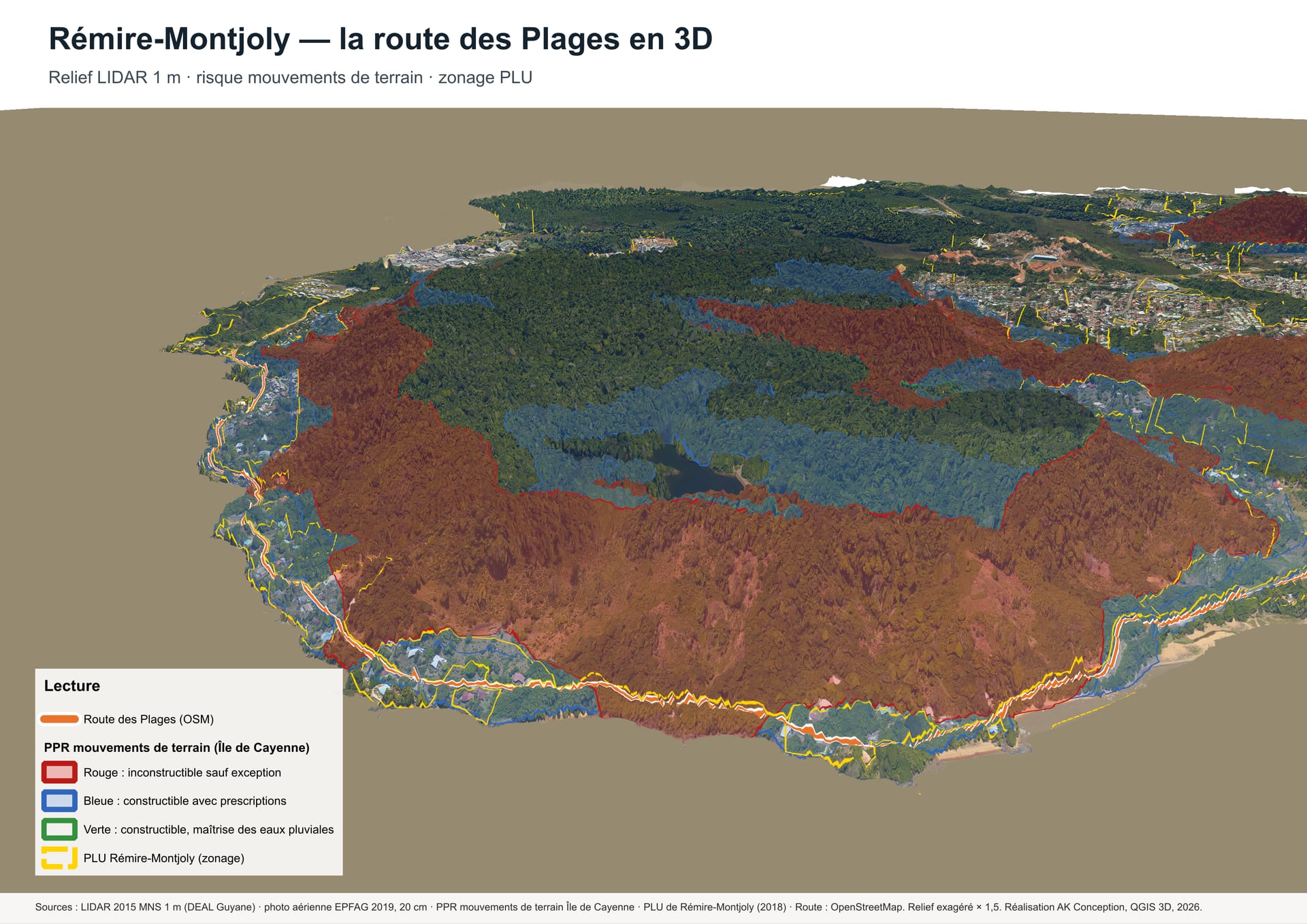
Before designing a building, you have to understand the land that will host it. AK-Architecture has developed its own digital twin of the territory: a georeferenced 3D model that brings together topography, buildings, networks, catchment areas and planning regulations in a single environment.
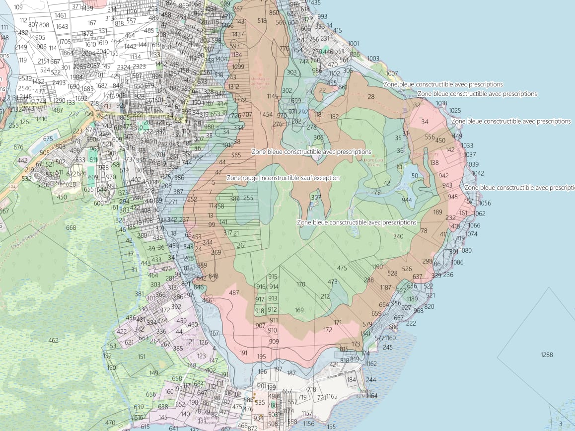
Spatial analysis. The model makes it possible to assess a site in a few hours: sunlight and cast shadows, prevailing winds, exposure to risks, accessibility, easements and regulatory constraints. Siting options are compared on measured data rather than on overlaid plans.
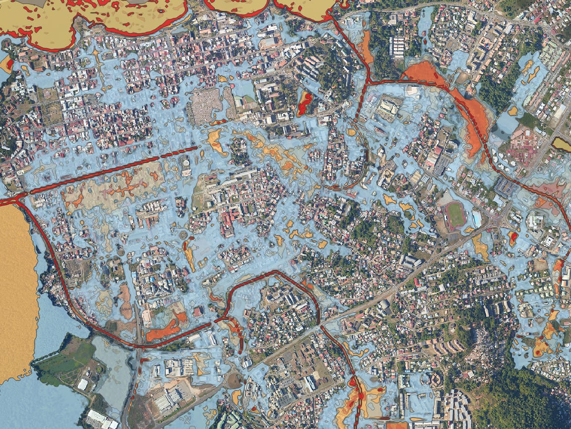
Hydraulic analysis. Using the terrain and catchment areas, we model stormwater runoff, delineate accumulation zones and size water management structures: swales, retention basins, outfalls. This is a central issue in French Guiana, where rainfall events shape the design of any development.
From territory to project. The modelled terrain, with all its components, can be imported directly into the project’s BIM model. The real topography guides the design from the sketch stage, then follows the construction and operation of the building. At municipal scale, the digital twin becomes a tool for urban planning and public consultation: elected officials and residents see the project in its real environment.
The product of in-house R&D built on open-source components, this tool is now used on all our projects and offered as a service to local authorities, developers and engineering consultancies.